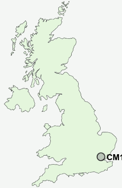
Postcode : CM14 5LF, Warley, Essex
Warley, Brentwood, Essex.
Classification
CM14 5LF : Constrained city dwellers / Challenged diversity / Hampered aspiration
Local Authority Brentwood
Primary Care Trust South West Essex
Ward Warley
Constituency Brentwood and Ongar
Region Eastern
Country England
Postcode Area CM : Chelmsford
CM14 Postcode Sectors
CM14 5LF Nearby Postcode Districts
CM11 CM12 CM13 CM14 CM15 CM16 CM4 E1 E10 E11 E12 E13 E14 E15 E16 E17 E18 E1W E2 E3 E4 E5 E6 E7 E8 E9 EC1V EC1Y EC2 EC2A EC2M EC2N EC2R EC2V EC2Y EC3 EC3A EC3M EC3N EC3R EC3V EC4N EC4R EN1 EN2 EN3 EN8 EN9 IG1 IG10 IG11 IG2 IG3 IG4 IG5 IG6 IG7 IG8 IG9 N1 N15 N16 N17 N18 N21 N5 N9 RM1 RM10 RM11 RM12 RM13 RM14 RM15 RM2 RM3 RM4 RM5 RM6 RM7 RM8 RM9 SS0 SS11 SS12 SS13 SS14 SS15 SS16 SS17 SS5 SS6 SS7 SS8 SS9
Stations near to CM14 5LF
Brentwood Rail Station about 0.6 miles away.Shenfield Rail Station about 2.19 miles away.
West Horndon Rail Station about 3.08 miles away.
Upminster Rail Station about 3.82 miles away.
Upminster Rail Station about 3.82 miles away.
CM14 5LF Schools
Warley Primary SchoolUrsuline Preparatory School
Holly Trees Primary School
Brentwood County High School
Hogarth Primary School
Sawyers Hall College
Woodlands School
UK Search
Antique Clocks
Browse Antique Clocks for sale from British antique dealers.