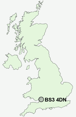
Postcode : BS3 4DN, Chipping Sodbury, South Gloucestershire, Gloucestershire
Whitehouse Lane, Bristol.
BS3 4DN close to Yate, Bedminster, Windmill Hill, Lower Knowle and Ashton Gate.
Classification
BS3 4DN : Ethnicity central / Aspirational techies / Established tech workers
Local Authority Bristol, City of
Primary Care Trust Bristol
Ward Southville
Constituency Bristol South
Region South West
Country England
Postcode Area BS : Bristol
BS3 Postcode Sectors
BS3 4DN Nearby Postcode Districts
BA1 BA15 BA2 BS1 BS10 BS11 BS13 BS14 BS15 BS16 BS2 BS20 BS21 BS22 BS23 BS3 BS30 BS31 BS34 BS36 BS37 BS4 BS40 BS41 BS48 BS49 BS5 BS6 BS7 BS8 BS9 BS99 SN13 SN14
Stations near to BS3 4DN
Bedminster Rail StationBristol Temple Meads Rail Station about 0.78 miles away.
Parson Street Rail Station about 0.8 miles away.
Lawrence Hill Rail Station about 1.73 miles away.
Clifton Down Rail Station about 1.81 miles away.
Montpelier Rail Station about 1.91 miles away.
Redland Rail Station about 1.92 miles away.
Stapleton Road Rail Station about 2.19 miles away.
BS3 4DN Schools
Hannah More Primary SchoolGreenfield Primary School
Barton Hill Primary
Ashton Park School
Cotham School
Bedminster Down School
UK Search
Antique Clocks
Browse Antique Clocks for sale from British antique dealers.