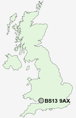
Postcode : BS13 9AX, Highridge, City Of Bristol, Somerset
Withywood Road, Bristol.
BS13 9AX close to Highridge, Withywood, Bishopsworth, Hartcliffe and Highridge.
Classification
BS13 9AX : Constrained city dwellers / White communities / Challenged transitionaries
Local Authority Bristol, City of
Primary Care Trust Bristol
Ward Hartcliffe and Withywood
Constituency Bristol South
Region South West
Country England
Postcode Area BS : Bristol
BS13 Postcode Sectors
BS13 9AX Nearby Postcode Districts
BA1 BA15 BA2 BS1 BS10 BS11 BS13 BS14 BS15 BS16 BS2 BS20 BS21 BS22 BS23 BS24 BS25 BS29 BS3 BS30 BS31 BS39 BS4 BS40 BS41 BS48 BS49 BS5 BS6 BS7 BS8 BS9 BS99
Stations near to BS13 9AX
Parson Street Rail Station about 1.8 miles away.Bedminster Rail Station about 2.46 miles away.
Bristol Temple Meads Rail Station about 3.28 miles away.
BS13 9AX Schools
Gay Elms Primary SchoolFour Acres Primary School
Fair Furlong Primary School
Highridge Infant School
Hareclive Primary School
Bedminster Down School
Greenfield Primary School
Teyfant Community School
Hartcliffe Engineering Community College
UK Search
Antique Clocks
Browse Antique Clocks for sale from British antique dealers.