Postcode : BD2 4ED, Settle, North Yorkshire
Myers Lane, Bradford.
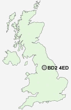
BD2 4ED close to Silsden, Bolton and Undercliffe.
Classification
BD2 4ED : Suburbanites / Semi-detached suburbia / Multi-ethnic suburbia
Local Authority Bradford
Primary Care Trust Bradford and Airedale Teaching
Ward Bolton and Undercliffe
Constituency Bradford East
Region Yorkshire and The Humber
Country England
Postcode Area BD : Bradford
BD2 Postcode Sectors
BD2 4ED Nearby Postcode Districts
BD1 BD10 BD11 BD12 BD13 BD14 BD15 BD16 BD17 BD18 BD19 BD2 BD20 BD21 BD22 BD3 BD4 BD5 BD6 BD7 BD8 BD9 HX1 HX2 HX3 HX7 LS1 LS10 LS11 LS12 LS13 LS14 LS15 LS16 LS17 LS18 LS19 LS2 LS20 LS21 LS23 LS26 LS27 LS28 LS3 LS4 LS5 LS6 LS7 LS8 LS9 WF10 WF17 WF3
Stations near to BD2 4ED
Frizinghall Rail Station about 1.15 miles away.Bradford Forster Square Rail Station about 1.42 miles away.
Shipley Rail Station about 1.73 miles away.
Bradford Interchange Rail Station about 1.78 miles away.
Baildon Rail Station about 2.39 miles away.
Saltaire Rail Station about 2.51 miles away.
BD2 4ED Schools
Carlton Bolling CollegeWestbourne Primary School
Springwood Community Primary School
Atlas Community Primary School
Miriam Lord Community Primary School
Feversham Primary School
UK Search
Antique Clocks
Browse Antique Clocks for sale from British antique dealers.