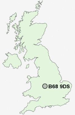
Postcode : B68 9DS, Sandwell, West Midlands
Bleakhouse Road, Oldbury.
B68 9DS close to Bristnall Fields, Londonderry, Causeway Green and Langley Green.
Classification
B68 9DS : Urbanites / Urban professionals and families / Multi-ethnic professionals with families
Local Authority Sandwell
Primary Care Trust Sandwell
Ward Bristnall
Constituency Warley
Region West Midlands
Country England
Postcode Area B : Birmingham
B68 Postcode Sectors
B68 9DS Nearby Postcode Districts
B1 B10 B11 B12 B13 B14 B15 B16 B17 B18 B19 B2 B20 B21 B23 B24 B25 B26 B27 B28 B29 B3 B30 B31 B32 B33 B34 B35 B36 B37 B38 B4 B40 B42 B43 B44 B45 B46 B47 B5 B6 B62 B63 B64 B65 B66 B67 B68 B69 B7 B70 B71 B72 B73 B76 B8 B9 B90 B91 B92 B93 DY1 DY10 DY11 DY12 DY2 DY3 DY4 DY5 DY6 DY7 DY8 DY9 WS10 WS5 WV14 WV15 WV2 WV4 WV5
Stations near to B68 9DS
Langley Green Rail Station about 1.33 miles away.Rowley Regis Rail Station about 1.38 miles away.
Smethwick Rolfe Street Rail Station about 1.88 miles away.
Smethwick Galton Bridge Rail Station about 1.99 miles away.
Smethwick Galton Bridge High Level Rail Station about 1.99 miles away.
Sandwell & Dudley Rail Station about 2.39 miles away.
The Hawthorns Rail Station about 2.54 miles away.
B68 9DS Schools
Bleakhouse Junior SchoolOldbury College of Sport
Bristnall Hall Technology College
Perryfields High School Specialist Maths and Computing College
Four Dwellings Primary School
Shireland Collegiate Academy
Crocketts Community Primary School
Victoria Park Primary
UK Search
Antique Clocks
Browse Antique Clocks for sale from British antique dealers.