Postcode : B13 0TW, Billesley Common, Birmingham, West Midlands
Birmingham, West Midlands.
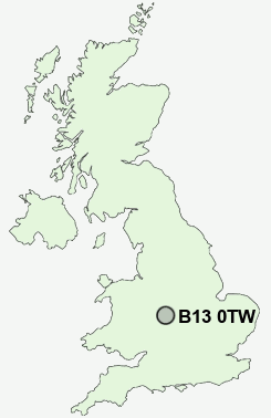
B13 0TW close to Billesley Common, Springfield, Billesley, Wake Green and Alcester Lane's End.
Classification
B13 0TW : Multicultural metropolitans / Rented family living / Social renting young families
Local Authority Birmingham
Primary Care Trust South Birmingham
Ward Billesley
Constituency Birmingham, Selly Oak
Region West Midlands
Country England
Postcode Area B : Birmingham
B13 Postcode Sectors
B13 0TW Nearby Postcode Districts
B1 B10 B11 B12 B13 B14 B15 B16 B17 B18 B19 B2 B20 B21 B23 B24 B25 B26 B27 B28 B29 B3 B30 B31 B32 B33 B34 B35 B36 B37 B38 B4 B40 B45 B46 B47 B48 B5 B6 B61 B62 B63 B64 B65 B66 B67 B68 B69 B7 B70 B8 B9 B90 B91 B92 B93 B94 CV1 CV10 CV3 CV4 CV5 CV6 CV7 CV8 DY1 DY10 DY11 DY2 DY5 DY6 DY7 DY8 DY9
Stations near to B13 0TW
Hall Green Rail Station about 1.3 miles away.Spring Road Rail Station about 1.82 miles away.
Shirley Rail Station about 2.19 miles away.
Small Heath Rail Station about 2.44 miles away.
Bordesley Rail Station about 2.92 miles away.
Five Ways Rail Station about 3.3 miles away.
Birmingham Moor Street Rail Station about 3.5 miles away.
Birmingham New Street Rail Station about 3.5 miles away.
B13 0TW Schools
Swanshurst SchoolWheelers Lane Primary School
Kings Heath Primary School
Moseley School and Sixth Form
Queensbridge School
Peterbrook Primary School
Clifton Primary School
Mill Lodge Primary School
Yardleys School
UK Search
Antique Clocks
Browse Antique Clocks for sale from British antique dealers.