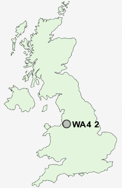
Postcode : WA4 2, Warrington, Cheshire
Postcodes in the WA4 2 district. Covering areas such as Thelwall, Grappenhall, Wilderspool, Stockton Heath and Warrington in Cheshire.
Postcode Area WA : Warrington
WA4 Postcode Sectors
WA4 5 Appleton Park, Cobbs, Dudlows Green, Hillcliffe, Moore
WA4 4 Appleton Thorn, Daresbury, Daresbury Delph, Dones Green, Dutton
WA4 2 Grappenhall, Stockton Heath, Thelwall, Wilderspool
WA4 4 Appleton Thorn, Daresbury, Daresbury Delph, Dones Green, Dutton
WA4 2 Grappenhall, Stockton Heath, Thelwall, Wilderspool
WA4 2 Nearby Postcode Districts
CH65 CH66 L1 L11 L12 L13 L14 L15 L16 L17 L18 L19 L24 L25 L26 L27 L28 L34 L35 L36 L4 L5 L6 L69 L7 L70 L8 L9 M12 M13 M14 M15 M16 M17 M19 M20 M21 M22 M23 M31 M32 M33 M41 M44 M90 SK8 SK9 WA1 WA10 WA12 WA13 WA14 WA15 WA16 WA2 WA3 WA4 WA5 WA7 WA8 WA9
Stations near to WA4 2
Warrington Bank Quay Rail Station about 1.24 miles away.Warrington Central Rail Station about 1.35 miles away.
Padgate Rail Station about 2.4 miles away.
WA4 2 Schools
Stockton Heath Primary SchoolBridgewater High School
Broomfields Junior School
Bradshaw Community Primary School
Beamont Community Primary School
UK Search
Antique Furniture
1000s of pieces of Antique Furniture for sale from British antique dealers.