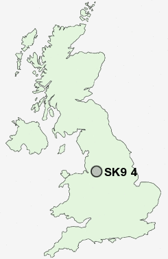
Postcode : SK9 4, Cheshire East, Cheshire
Postcodes in the SK9 4 district. Covering areas such as Styal, Lacey Green and Cheshire East.
Postcode Area SK : Stockport
SK9 Postcode Sectors
SK9 7 Alderley Edge, Harden Park, Hough, Row-of-trees
SK9 6 Davenport Green
SK9 2 Dean Row, Finney Green, Wilmslow Park
SK9 1 Fulshaw Park, Wilmslow
SK9 6 Davenport Green
SK9 2 Dean Row, Finney Green, Wilmslow Park
SK9 1 Fulshaw Park, Wilmslow
SK9 4 Nearby Postcode Districts
CW8 CW9 M14 M19 M20 M21 M22 M23 M31 M33 M44 M90 SK1 SK10 SK12 SK13 SK2 SK22 SK23 SK3 SK4 SK5 SK6 SK7 SK8 SK9 WA1 WA13 WA14 WA15 WA16 WA2 WA4 WA5
Stations near to SK9 4
Styal Rail Station about 0.37 miles away.Handforth Rail Station about 1.48 miles away.
Manchester Airport Rail Station about 1.52 miles away.
Heald Green Rail Station about 1.56 miles away.
Wilmslow Rail Station about 1.75 miles away.
Alderley Edge Rail Station about 3.11 miles away.
Gatley Rail Station about 3.18 miles away.
SK9 4 Schools
Styal Primary SchoolLacey Green Primary School
Wilmslow Grange Community Primary and Nursery School
Gorsey Bank Primary School
Outwood Primary School
Prospect Vale Primary School
UK Search
Antique Furniture
1000s of pieces of Antique Furniture for sale from British antique dealers.