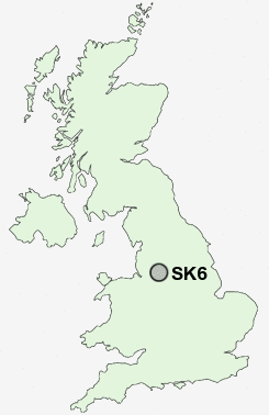
Postcode : SK6, Stockport, Greater Manchester
Postcodes in the SK6 sector. Covering areas such as High Lane, Arden Park, Compstall, Mill Brow, Marpleridge, Bredbury Green, Castle Hill, Mellor, Windlehurst, Bredbury, Cherry Tree, Chadkirk, Bunkers Hill, Moorend, Marple Bridge and Stockport in Greater Manchester.
Postcode Area SK : Stockport
SK6 Postcode Sectors
SK6 2 Arden Park, Bredbury, Castle Hill, Lower Bredbury
SK6 3 Bredbury Green, Bunkers Hill
SK6 6 Chadkirk, Ley Hey Park, Marple
SK6 4 Cherry Tree, Greave, Romiley
SK6 3 Bredbury Green, Bunkers Hill
SK6 6 Chadkirk, Ley Hey Park, Marple
SK6 4 Cherry Tree, Greave, Romiley
SK6 5 Compstall, Lane Ends, Marple Bridge, Mellor, Mill Brow
SK6 7 Hawk Green, Marpleridge, Strines
SK6 8 High Lane, Windlehurst
SK6 1 Woodley
SK6 7 Hawk Green, Marpleridge, Strines
SK6 8 High Lane, Windlehurst
SK6 1 Woodley
SK6 Nearby Postcode Districts
M1 M11 M12 M13 M14 M15 M16 M17 M18 M19 M2 M20 M21 M22 M23 M3 M30 M31 M32 M33 M34 M4 M40 M41 M43 M44 M5 M6 M60 M7 M90 OL6 OL7 S33 SK1 SK12 SK13 SK14 SK15 SK16 SK2 SK22 SK23 SK3 SK4 SK5 SK6 SK7 SK8 SK9 WA13 WA14 WA15
Stations near to SK6
Marple Rail Station about 0.98 miles away.Bredbury Rail Station about 1.77 miles away.
Hazel Grove Rail Station about 2.57 miles away.
Middlewood Rail Station about 3.11 miles away.
Hattersley Rail Station about 3.23 miles away.
Hyde Central Rail Station about 3.25 miles away.
Godley Rail Station about 3.39 miles away.
Disley Rail Station about 3.59 miles away.
SK6 Schools
Marple Hall SchoolPeacefield Primary School
Ludworth Primary School
Werneth School
Bredbury Green Primary School
Greave Primary School
Offerton School
Dial Park Primary School
UK Search
Antique Furniture
1000s of pieces of Antique Furniture for sale from British antique dealers.