Postcode : NR28 9, Norfolk
Postcodes in the NR28 9 district. Covering areas such as Honing, North Walsham, Lyngate, Dilham, Withergate, Meeting House Hill, Paston Green, Bengate, Edingthorpe Green, Witton Bridge, Worstead, Paston, Ridlington Street, Ridlington, Spa Common and Norfolk.
Postcode Area NR : Norwich
NR28 Postcode Sectors
NR28 9 Nearby Postcode Districts
Stations near to NR28 9
Worstead Rail Station about 0.84 miles away.North Walsham Rail Station about 2.48 miles away.
NR28 9 Schools
Worstead Church of England Primary School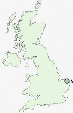
UK Search
Antique Furniture
1000s of pieces of Antique Furniture for sale from British antique dealers.