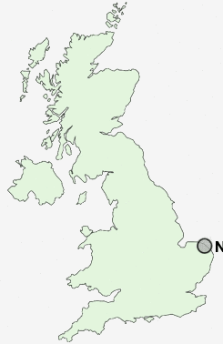
Postcode : NR28, Norfolk
Postcodes in the NR28 sector. Covering areas such as Paston Green, Little London, Antingham, Trunch, Honing, Ridlington Street, Knapton, Felmingham, Tungate, Bengate, Old Hall Street, Edingthorpe Green, Ridlington, Briggate, Lyngate and Norfolk.
Postcode Area NR : Norwich
NR28 Postcode Sectors
NR28 Nearby Postcode Districts
Stations near to NR28
North Walsham Rail Station about 0.74 miles away.Worstead Rail Station about 3.08 miles away.
NR28 Schools
North Walsham Infant School and NurseryNorth Walsham Junior School
North Walsham High School
St Nicholas House School
Millfield Primary School
UK Search
Antique Furniture
1000s of pieces of Antique Furniture for sale from British antique dealers.