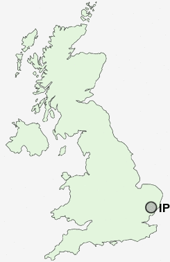
Postcode : IP2 0, Suffolk
Postcodes in the IP2 0 district. Covering areas such as Chantry and Suffolk.
Postcode Area IP : Ipswich
IP2 Postcode Sectors
IP2 0 Nearby Postcode Districts
CO8 IP1 IP10 IP11 IP12 IP2 IP3 IP4 IP5 IP6 IP7 IP8 IP9
Stations near to IP2 0
Ipswich Rail Station about 0.77 miles away.Westerfield Rail Station about 2.8 miles away.
IP2 0 Schools
The Oaks Community Primary SchoolRanelagh Primary School
Hillside Community Primary School
Handford Hall Primary School
Springfield Infant School and Nursery
Springfield Junior School
St Helen's Primary School
Whitehouse Community Primary School
Whitehouse Junior School
UK Search
Antique Jewellery
including Antique Engagement Rings for sale from UK Antique specialists.