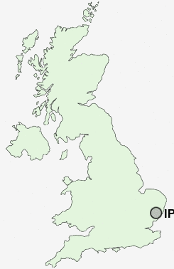
Postcode : IP3, Suffolk
Postcodes in the IP3 sector. Covering areas such as Hightown Green, Priory Heath, Rougham, Great Barton, Bardwell, Upper Town, Stanton Chare, Cockfield, Great Ashfield, Badwell Green, Coney Weston, Blackthorpe, Norton Little Green, Upthorpe, Button Haugh Green and Suffolk.
Postcode Area IP : Ipswich
IP3 Postcode Sectors
IP3 Nearby Postcode Districts
CO11 IP1 IP10 IP11 IP12 IP2 IP3 IP4 IP5 IP6 IP7 IP8 IP9
Stations near to IP3
Derby Road (Ipswich) Rail Station about 0.7 miles away.Ipswich Rail Station about 1.97 miles away.
Westerfield Rail Station about 2.92 miles away.
IP3 Schools
Murrayfield Community Primary SchoolRose Hill Primary School
Cliff Lane Primary School
Ravenswood Community Primary School
Morland Primary School
Britannia Primary School and Nursery
Clifford Road Primary School
Broke Hall Community Primary School
St Helen's Primary School
Hillside Community Primary School
Sidegate Primary School
UK Search
Antique Jewellery
including Antique Engagement Rings for sale from UK Antique specialists.