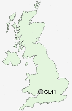
Postcode : GL11, Gloucestershire
Postcodes in the GL11 sector. Covering areas such as Norman Hill, Far Green, Leathern Bottle, Dursley, Coaley, The Quarry, Pitt Court, Nibley Green, Lower Cam, Cam, Millend, Owlpen, Silver Street, Shadwell, Upper Cam and Gloucestershire.
Postcode Area GL : Gloucester
GL11 Postcode Sectors
GL11 5 Ashmead Green, Bencombe, Coaley, Dursley, Elcombe
GL11 6 Cam, Forthay, Lower Wick, Middle Wick, Millend
GL11 6 Cam, Forthay, Lower Wick, Middle Wick, Millend
GL11 Nearby Postcode Districts
BS35 GL10 GL11 GL12 GL13 GL15 GL5 GL6 GL8 NP16 SN16
Stations near to GL11
Cam & Dursley Rail Station about 1.98 miles away.GL11 Schools
Rednock SchoolCam Everlands Primary School
Cam Hopton Church of England Primary School
Dursley Church of England Primary School
Cam Woodfield Infant School
Cam Woodfield Junior School
UK Search
Antique Jewellery
including Antique Engagement Rings for sale from UK Antique specialists.