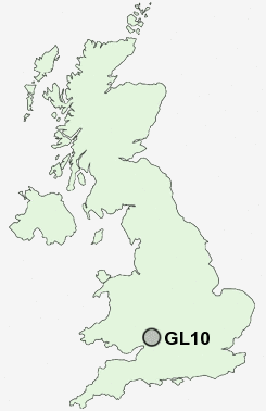
Postcode : GL10, Gloucestershire
Postcodes in the GL10 sector. Covering areas such as Newtown, Little Haresfield, Eastington, Leonard Stanley, Frocester, Coaley Peak, Cress Green, Nympsfield, Middle Street, Stanley Downton, Ryeford, Haresfield, Stonehouse, Colethrop and Gloucestershire.
Postcode Area GL : Gloucester
GL10 Postcode Sectors
GL10 Nearby Postcode Districts
GL10 GL11 GL13 GL14 GL15 GL16 GL4 GL5 GL6 GL7
Stations near to GL10
Stonehouse Rail Station about 0.28 miles away.GL10 Schools
Hopelands Preparatory SchoolWycliffe College
Stonehouse Park Infant School
Park Junior School
Maidenhill School
Leonard Stanley Church of England Primary School
Kings Stanley Infant School
Foxmoor Primary School
Eastington Primary School
Cashes Green Primary School
St Matthew's Church of England Primary School
Randwick Church of England Primary School
UK Search
Antique Jewellery
including Antique Engagement Rings for sale from UK Antique specialists.