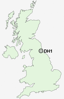
Postcode : DH1, County Durham
Postcodes in the DH1 sector. Covering areas such as Moor End, Framwellgate Moor, Gilesgate, Durham, Lowes Barn, North End, Gilesgate Moor, High Shincliffe, Aykley Heads, Carrville, Sherburn Grange, Shincliffe, Newton Hall, Elvet Hill and County Durham.
Postcode Area DH : Durham
DH1 Postcode Sectors
DH1 5 Aykley Heads, Framwellgate Moor, Newton Hall, North End, Pity Me
DH1 2 Belmont, Carrville, Gilesgate Moor, High Shincliffe, Moor End
DH1 3 Durham
DH1 2 Belmont, Carrville, Gilesgate Moor, High Shincliffe, Moor End
DH1 3 Durham
DH1 Nearby Postcode Districts
DH1 DH2 DH3 DH4 DH5 DH6 DH7 DH8 DH9 DL13 DL15 DL16 DL17 SR3 SR7 SR8 TS24 TS26 TS27 TS28 TS29
Stations near to DH1
Durham Rail Station about 0.64 miles away.DH1 Schools
Durham Sixth Form CentreLaurel Avenue Community Primary School
Durham Gilesgate Primary School
Durham Newton Hall Infants' School
Finchale Primary School
Durham Johnston Comprehensive School
Framwellgate Moor Primary School
Framwellgate School Durham
Neville's Cross Primary School
Belmont Community School
Belmont Infant School
Durham High School for Girls
UK Search
Antique Jewellery
including Antique Engagement Rings for sale from UK Antique specialists.