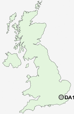
Postcode : DA13 9, Kent
Postcodes in the DA13 9 district. Covering areas such as Northfleet Green, Istead Rise, Nash Street, Round Street, Hook Green, Betsham, Southfleet and Kent.
Postcode Area DA : Dartford
DA13 Postcode Sectors
DA13 9 Nearby Postcode Districts
BR1 BR2 BR3 BR4 BR5 BR6 BR7 BR8 CR0 DA1 DA10 DA11 DA12 DA13 DA14 DA15 DA16 DA17 DA18 DA2 DA3 DA4 DA5 DA6 DA7 DA8 DA9 E1 E14 E16 E1W ME1 ME2 ME3 ME4 ME5 ME6 ME7 ME8 RM15 RM16 RM17 RM18 RM19 RM20 SE10 SE12 SE13 SE14 SE15 SE16 SE18 SE2 SE20 SE22 SE23 SE25 SE26 SE28 SE3 SE4 SE6 SE7 SE8 SE9
Stations near to DA13 9
Ebbsfleet International Rail Station about 1.62 miles away.Northfleet Rail Station about 1.82 miles away.
Longfield Rail Station about 1.85 miles away.
Swanscombe Rail Station about 2.1 miles away.
Gravesend Rail Station about 2.47 miles away.
Meopham Rail Station about 2.76 miles away.
Greenhithe for Bluewater Rail Station about 2.77 miles away.
Tilbury Town Rail Station about 3.28 miles away.
DA13 9 Schools
Painters Ash Primary SchoolNorthfleet School for Girls
Shears Green Junior School
Swan Valley Community School
Shears Green Infant School
Bean Primary School
Istead Rise Primary School
Dover Road Community Primary School
Cecil Road Primary and Nursery School
Lawn Primary School
UK Search
Antique Jewellery
including Antique Engagement Rings for sale from UK Antique specialists.