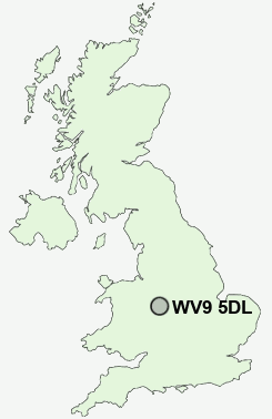
Postcode : WV9 5DL, Lower Green, Wolverhampton, Staffordshire
Brewood Road, Coven, Wolverhampton.
WV9 5DL close to Lower Green, Coven and Coven Lawn.
Classification
WV9 5DL : Suburbanites / Semi-detached suburbia / White suburban communities
Local Authority South Staffordshire
Primary Care Trust South Staffordshire
Ward Brewood and Coven
Constituency South Staffordshire
Region West Midlands
Country England
Postcode Area WV : Wolverhampton
WV9 Postcode Sectors
WV9 5DL Nearby Postcode Districts
B74 B75 ST19 TF1 TF11 TF12 TF2 TF3 TF4 TF5 TF7 TF8 WS1 WS11 WS12 WS13 WS14 WS15 WS2 WS3 WS4 WS5 WS6 WS7 WS8 WS9 WV1 WV10 WV11 WV12 WV13 WV2 WV3 WV4 WV6 WV7 WV8 WV9
Stations near to WV9 5DL
Bilbrook Rail Station about 3.24 miles away.WV9 5DL Schools
St Paul's CofE (C) First SchoolBrewood CofE (C) Middle School
St Mary and St Chad CE (VC) First School
UK Search
Antique Furniture
1000s of pieces of Antique Furniture for sale from British antique dealers.