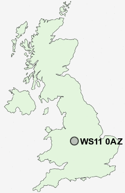
Postcode : WS11 0AZ, Bridgtown, Staffordshire
North Street, Cannock, Staffordshire.
WS11 0AZ close to Bridgtown, Churchbridge, Rumer Hill and Cannock.
Classification
WS11 0AZ : Urbanites / Ageing urban living / Self-sufficient retirement
Local Authority Cannock Chase
Primary Care Trust South Staffordshire
Ward Cannock South
Constituency Cannock Chase
Region West Midlands
Country England
Postcode Area WS : Walssal
WS11 Postcode Sectors
WS11 5 Blackfords, Chadsmoor, High Town, West Chadsmoor
WS11 0 Bridgtown, Churchbridge, Rumer Hill
WS11 1 Cannock, Four Crosses, Hatherton
WS11 0 Bridgtown, Churchbridge, Rumer Hill
WS11 1 Cannock, Four Crosses, Hatherton
WS11 0AZ Nearby Postcode Districts
B74 B75 B77 B78 B79 ST19 TF10 TF11 WS1 WS11 WS12 WS13 WS14 WS15 WS2 WS3 WS4 WS6 WS7 WS8 WS9 WV1 WV10 WV11 WV12 WV13 WV3 WV6 WV7 WV8 WV9
Stations near to WS11 0AZ
Cannock Rail Station about 0.65 miles away.Landywood Rail Station about 1.47 miles away.
Hednesford Rail Station about 2.5 miles away.
WS11 0AZ Schools
Bridgtown Primary SchoolLongford Primary School
Glenthorne Community Primary School
Moat Hall Primary School
Cheslyn Hay Primary School
Gorsemoor Primary School
UK Search
Antique Furniture
1000s of pieces of Antique Furniture for sale from British antique dealers.