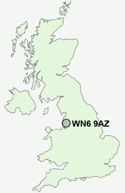
Postcode : WN6 9AZ, Appley Bridge, Wigan, Lancashire
Farrier Way, Appley Bridge, Wigan.
WN6 9AZ close to Appley Bridge, Shevington Vale and Dangerous Corner.
Classification
WN6 9AZ : Suburbanites / Semi-detached suburbia / White suburban communities
Local Authority West Lancashire
Primary Care Trust Central Lancashire
Ward Wrightington
Constituency West Lancashire
Region North West
Country England
Postcode Area WN : Wigan
WN6 Postcode Sectors
WN6 9 Appley Bridge, Dangerous Corner, High Moor, Hunger Hill, Mossy Lea
WN6 8 Beech Hill, Crooke, Gathurst, Shevington, Standish Lower Ground
WN6 8 Beech Hill, Crooke, Gathurst, Shevington, Standish Lower Ground
WN6 9AZ Nearby Postcode Districts
BL1 BL2 BL3 BL4 BL5 BL6 BL7 BL8 L23 L29 L30 L31 L33 L37 L38 L39 L40 M26 M27 M28 M29 M30 M38 M46 PR6 PR7 PR8 PR9 WN1 WN2 WN3 WN4 WN5 WN6 WN7 WN8
Stations near to WN6 9AZ
Appley Bridge Rail StationGathurst Rail Station about 1.69 miles away.
Orrell Rail Station about 3.37 miles away.
Pemberton Rail Station about 3.9 miles away.
WN6 9AZ Schools
Shevington Vale Primary SchoolShevington Community Primary School
Upholland Roby Mill CofE Voluntary Aided Primary School
Shevington High School
Millbrook Primary School
St Joseph's Catholic Primary School, Wrightington
UK Search
Antique Furniture
1000s of pieces of Antique Furniture for sale from British antique dealers.