Postcode : WN2 1BP, Abram, Wigan, Greater Manchester
Wigan, Greater Manchester.
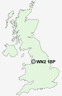
WN2 1BP close to Hindley, Top Lock and New Springs.
Classification
WN2 1BP : Suburbanites / Semi-detached suburbia / Semi-detached ageing
Local Authority Wigan
Primary Care Trust Ashton, Leigh and Wigan
Ward Aspull New Springs Whelley
Constituency Wigan
Region North West
Country England
Postcode Area WN : Wigan
WN2 Postcode Sectors
WN2 5 Abram, Bamfurlong, Bickershaw, Bryn Gates, Dover
WN2 1 Aspull, Haigh, New Springs, Pennington Green, Top Lock
WN2 1 Aspull, Haigh, New Springs, Pennington Green, Top Lock
WN2 1BP Nearby Postcode Districts
BL0 BL1 BL2 BL3 BL4 BL5 BL6 BL7 BL8 BL9 L10 L21 L29 L30 L31 L32 L33 L39 L40 L9 M1 M13 M15 M17 M2 M25 M26 M27 M28 M29 M3 M30 M38 M4 M45 M46 M5 M6 M60 M7 M8 OL10 PR7 PR8 WA11 WN1 WN2 WN3 WN4 WN5 WN6 WN7 WN8
Stations near to WN2 1BP
Wigan Wallgate Rail Station about 1.12 miles away.Wigan North Western Rail Station about 1.18 miles away.
Ince (Manchester) Rail Station about 1.22 miles away.
Hindley Rail Station about 1.87 miles away.
Blackrod Rail Station about 3.04 miles away.
WN2 1BP Schools
Canon Sharples Church of England Primary School and NurseryRose Bridge High School
Mab's Cross Primary School
Woodfield Primary School
St William's Catholic Primary School
Britannia Bridge Primary School
Beech Hill Community Primary School
St David Haigh and Aspull CofE Primary School
UK Search
Antique Furniture
1000s of pieces of Antique Furniture for sale from British antique dealers.