Postcode : WN1 1BJ, Scholes, Wigan, Greater Manchester
Wigan, Greater Manchester.
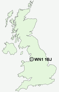
WN1 1BJ close to Scholes and Wigan.
Classification
WN1 1BJ : Constrained city dwellers / Challenged diversity / Hampered aspiration
Local Authority Wigan
Primary Care Trust Ashton, Leigh and Wigan
Ward Wigan Central
Constituency Wigan
Region North West
Country England
Postcode Area WN : Wigan
WN1 Postcode Sectors
WN1 1BJ Nearby Postcode Districts
BL1 BL2 BL3 BL4 BL5 BL6 BL7 BL8 BL9 L10 L11 L20 L21 L22 L23 L29 L30 L31 L32 L33 L39 L40 L9 M1 M15 M16 M17 M2 M25 M26 M27 M28 M29 M3 M30 M32 M38 M41 M45 M46 M5 M6 M7 M8 PR8 WA10 WA11 WA12 WA3 WN1 WN2 WN3 WN4 WN5 WN6 WN7 WN8
Stations near to WN1 1BJ
Wigan North Western Rail StationWigan Wallgate Rail Station
Ince (Manchester) Rail Station about 0.95 miles away.
Pemberton Rail Station about 1.78 miles away.
Bryn Rail Station about 3.08 miles away.
WN1 1BJ Schools
Mab's Cross Primary SchoolBritannia Bridge Primary School
Rose Bridge High School
Wigan Worsley Mesnes Community Primary School
Beech Hill Community Primary School
Woodfield Primary School
Hawkley Hall High School
Marsh Green Primary School
Westfield Community School
Marus Bridge Primary School
UK Search
Antique Furniture
1000s of pieces of Antique Furniture for sale from British antique dealers.