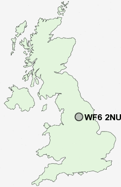
Postcode : WF6 2NU, Normanton, Wakefield, West Yorkshire
Church Road, Altofts, Normanton.
WF6 2NU close to Altofts, Lower Altofts and Woodhouse.
Classification
WF6 2NU : Urbanites / Ageing urban living / Self-sufficient retirement
Local Authority Wakefield
Primary Care Trust Wakefield District
Ward Altofts and Whitwood
Constituency Normanton, Pontefract and Castleford
Region Yorkshire and The Humber
Country England
Postcode Area WF : Wakefield
WF6 Postcode Sectors
WF6 2NU Nearby Postcode Districts
BD1 BD11 BD12 BD14 BD19 BD3 BD4 BD5 BD6 BD7 BD8 HD1 HD2 HD3 HD4 HD5 HD6 LS1 LS10 LS11 LS12 LS15 LS2 LS25 LS26 LS27 LS28 LS3 LS4 LS9 WF1 WF10 WF11 WF12 WF13 WF14 WF15 WF16 WF17 WF2 WF3 WF4 WF5 WF6 WF7 WF8 YO8
Stations near to WF6 2NU
Normanton Rail Station about 0.72 miles away.Streethouse Rail Station about 2.66 miles away.
Woodlesford Rail Station about 3.31 miles away.
Sandal & Agbrigg Rail Station about 3.74 miles away.
WF6 2NU Schools
Martin Frobisher Infant SchoolNormanton Altofts Lee Brigg Infant School
Normanton Altofts Junior School
Normanton Junior School
Normanton All Saints CofE Infant School
St John The Baptist Catholic Primary School
Newlands Primary School
Normanton Common Primary School
UK Search
Antique Furniture
1000s of pieces of Antique Furniture for sale from British antique dealers.