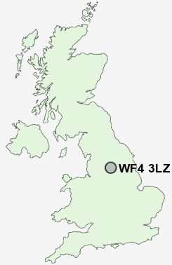
Postcode : WF4 3LZ, Horbury, Wakefield, West Yorkshire
Stoney Lane, Hall Green, Wakefield.
WF4 3LZ close to Chapelthorpe, Painthorpe, Newmillerdam and Woolley.
Classification
WF4 3LZ : Suburbanites / Semi-detached suburbia / Semi-detached ageing
Local Authority Wakefield
Primary Care Trust Wakefield District
Ward Wakefield Rural
Constituency Wakefield
Region Yorkshire and The Humber
Country England
Postcode Area WF : Wakefield
WF4 Postcode Sectors
WF4 3 Calder Grove, Chapelthorpe, Crigglestone, Great Cliff, Hall Green
WF4 2 Cold Hiendley, Newstead, Notton, Ryhill, Wintersett
WF4 4 Coxley, Flockton, Flockton Green, Flockton Moor, Horbury Bridge
WF4 2 Cold Hiendley, Newstead, Notton, Ryhill, Wintersett
WF4 4 Coxley, Flockton, Flockton Green, Flockton Moor, Horbury Bridge
WF4 3LZ Nearby Postcode Districts
BD19 DN5 DN6 HD1 HD2 HD3 HD4 HD5 HD6 HD7 HD8 HD9 HX1 HX3 HX4 HX5 HX6 S70 S71 S72 S75 WF1 WF10 WF11 WF12 WF13 WF14 WF15 WF16 WF17 WF2 WF3 WF4 WF5 WF6 WF7 WF8 WF9
Stations near to WF4 3LZ
Darton Rail Station about 2.87 miles away.Sandal & Agbrigg Rail Station about 2.9 miles away.
Wakefield Kirkgate Rail Station about 3.69 miles away.
WF4 3LZ Schools
Crigglestone Dane Royd Junior and Infant SchoolCrigglestone Mackie Hill Junior and Infant School
Standbridge Primary School
Hendal Primary School
Kettlethorpe High School, A Specialist Maths and Computing College
UK Search
Antique Furniture
1000s of pieces of Antique Furniture for sale from British antique dealers.