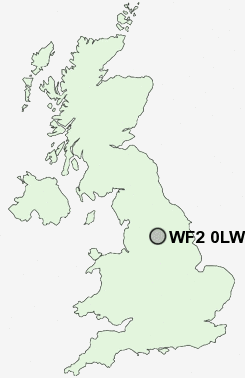
Postcode : WF2 0LW, Wrenthorpe, Wakefield, West Yorkshire
Imperial Avenue, Wrenthorpe, Wakefield.
WF2 0LW close to Wrenthorpe, Beck Bottom, Brandy Carr, Alverthorpe, Carr Gate and Lawns.
Classification
WF2 0LW : Suburbanites / Suburban achievers / Detached retirement living
Local Authority Wakefield
Primary Care Trust Wakefield District
Ward Wrenthorpe and Outwood West
Constituency Morley and Outwood
Region Yorkshire and The Humber
Country England
Postcode Area WF : Wakefield
WF2 Postcode Sectors
WF2 0 Alverthorpe, Beck Bottom, Brandy Carr, Carr Gate, Jaw Hill
WF2 7 Durkar, Kettlethorpe, Milnthorpe, Portobello, Sandal
WF2 9 Flanshaw
WF2 7 Durkar, Kettlethorpe, Milnthorpe, Portobello, Sandal
WF2 9 Flanshaw
WF2 0LW Nearby Postcode Districts
BD1 BD11 BD12 BD13 BD14 BD19 BD3 BD4 BD5 BD6 BD7 BD8 HD1 HD2 HD3 HD4 HD5 HD6 HD7 HX1 HX2 HX3 HX4 HX5 LS1 LS10 LS11 LS12 LS2 LS25 LS26 LS27 LS3 LS9 WF1 WF10 WF11 WF12 WF13 WF14 WF15 WF16 WF17 WF2 WF3 WF4 WF5 WF6 WF7 WF8 WF9
Stations near to WF2 0LW
Outwood Rail Station about 1.04 miles away.Wakefield Westgate Rail Station about 1.43 miles away.
Wakefield Kirkgate Rail Station about 2.09 miles away.
Sandal & Agbrigg Rail Station about 3.13 miles away.
WF2 0LW Schools
Wrenthorpe Primary SchoolStanley Wrenthorpe Jerry Clay Lane Junior and Infant School
Outwood Grange College of Technology
Wakefield Flanshaw Junior and Infant School
Rooks Nest Junior, Infant and Nursery School
Kirkhamgate Primary School
Wakefield Pinders Primary (JIN) School
Lofthouse Gate Primary School
Wakefield Greenhill Primary School
UK Search
Antique Furniture
1000s of pieces of Antique Furniture for sale from British antique dealers.