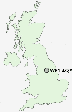
Postcode : WF1 4QY, Heckmondwike, Kirklees, West Yorkshire
Wakefield, West Yorkshire.
WF1 4QY close to Mirfield, East Moor, Wakefield and Newton Hill.
Classification
WF1 4QY : Multicultural metropolitans / Rented family living / Social renting young families
Local Authority Wakefield
Primary Care Trust Wakefield District
Ward Wakefield East
Constituency Wakefield
Region Yorkshire and The Humber
Country England
Postcode Area WF : Wakefield
WF1 Postcode Sectors
WF1 4QY Nearby Postcode Districts
BD11 BD12 BD13 BD14 BD19 BD4 BD5 BD6 BD7 DN6 HD1 HD2 HD3 HD4 HD5 HD6 HD7 HD8 HX1 HX3 HX4 HX5 LS10 LS11 LS25 LS26 LS27 WF1 WF10 WF11 WF12 WF13 WF14 WF15 WF16 WF17 WF2 WF3 WF4 WF5 WF6 WF7 WF8 WF9
Stations near to WF1 4QY
Wakefield Kirkgate Rail Station about 0.67 miles away.Wakefield Westgate Rail Station about 1.07 miles away.
Sandal & Agbrigg Rail Station about 1.67 miles away.
Outwood Rail Station about 2.28 miles away.
WF1 4QY Schools
Wakefield Heath View Community Primary School JinWakefield City High School - A Specialist Maths and Computing College
Wakefield Greenhill Primary School
Wakefield Pinders Primary (JIN) School
Newton Hill Community School
Stanley Grove Primary and Nursery School
Wakefield Sandal Magna Junior and Infants School
Rooks Nest Junior, Infant and Nursery School
Wakefield Castle Grove Infant School
UK Search
Antique Furniture
1000s of pieces of Antique Furniture for sale from British antique dealers.