Postcode : WF1 3DX, Heckmondwike, Kirklees, West Yorkshire
Rook's Nest Road, Outwood, Wakefield.
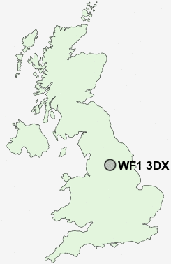
WF1 3DX close to Mirfield, Outwood, Newton Hill and Snow Hill.
Classification
WF1 3DX : Constrained city dwellers / White communities / Outer city hardship
Local Authority Wakefield
Primary Care Trust Wakefield District
Ward Stanley and Outwood East
Constituency Morley and Outwood
Region Yorkshire and The Humber
Country England
Postcode Area WF : Wakefield
WF1 Postcode Sectors
WF1 3DX Nearby Postcode Districts
BD1 BD11 BD12 BD13 BD14 BD19 BD3 BD4 BD5 BD6 BD7 BD8 HD1 HD2 HD3 HD4 HD5 HD6 HD7 HX1 HX3 HX4 HX5 LS1 LS10 LS11 LS12 LS15 LS2 LS25 LS26 LS27 LS28 LS3 LS9 WF1 WF10 WF11 WF12 WF13 WF14 WF15 WF16 WF17 WF2 WF3 WF4 WF5 WF6 WF7 WF8
Stations near to WF1 3DX
Outwood Rail Station about 0.7 miles away.Wakefield Westgate Rail Station about 1.79 miles away.
Wakefield Kirkgate Rail Station about 2.09 miles away.
Sandal & Agbrigg Rail Station about 3.21 miles away.
WF1 3DX Schools
Rooks Nest Junior, Infant and Nursery SchoolOutwood Grange College of Technology
Wrenthorpe Primary School
Wakefield Pinders Primary (JIN) School
Stanley Wrenthorpe Jerry Clay Lane Junior and Infant School
Wakefield Greenhill Primary School
Wakefield Heath View Community Primary School Jin
Wakefield City High School - A Specialist Maths and Computing College
Wakefield Flanshaw Junior and Infant School
UK Search
Antique Furniture
1000s of pieces of Antique Furniture for sale from British antique dealers.