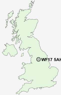
Postcode : WF17 5AH, Batley, Kirklees, West Yorkshire
Albion Street, Batley.
WF17 5AH close to Batley, Hanging Heaton, Batley Carr, Staincliffe, Lower Soothill and Carlinghow.
Classification
WF17 5AH : Multicultural metropolitans / Challenged Asian terraces / Pakistani communities
Local Authority Kirklees
Primary Care Trust Kirklees
Ward Batley East
Constituency Batley and Spen
Region Yorkshire and The Humber
Country England
Postcode Area WF : Wakefield
WF17 Postcode Sectors
WF17 5 Batley
WF17 7 Batley Carr, Clerk Green, Mount Pleasant, Staincliffe
WF17 9 Birstall, Birstall Smithies, White Lee
WF17 7 Batley Carr, Clerk Green, Mount Pleasant, Staincliffe
WF17 9 Birstall, Birstall Smithies, White Lee
WF17 8 Carlinghow, Healey
WF17 0 Copley Hill, Howden Clough, Upper Batley
WF17 6 Hanging Heaton, Lower Soothill
WF17 0 Copley Hill, Howden Clough, Upper Batley
WF17 6 Hanging Heaton, Lower Soothill
WF17 5AH Nearby Postcode Districts
BD1 BD11 BD12 BD13 BD14 BD15 BD19 BD3 BD4 BD5 BD6 BD7 BD8 HD1 HD2 HD3 HD4 HD5 HD6 HD7 HX1 HX2 HX3 HX4 HX5 HX6 HX7 LS1 LS10 LS11 LS12 LS13 LS15 LS2 LS25 LS26 LS27 LS28 LS3 LS4 LS9 WF1 WF10 WF11 WF12 WF13 WF14 WF15 WF16 WF17 WF2 WF3 WF4 WF5 WF6 WF7 WF8
Stations near to WF17 5AH
Batley Rail Station about 0.3 miles away.Dewsbury Rail Station about 1.25 miles away.
Ravensthorpe Rail Station about 2.61 miles away.
Morley Rail Station about 3.18 miles away.
WF17 5AH Schools
Field Lane Junior Infant and Nursery SchoolBatley Business and Enterprise College
Manorfield Infant and Nursery School
Birkdale High School
Lydgate Junior and Infant School
Carlinghow Princess Royal Junior Infant and Nursery School
Earlsheaton Technology College
Westborough High School
Batley Girls' High School
UK Search
Antique Furniture
1000s of pieces of Antique Furniture for sale from British antique dealers.