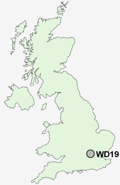
Postcode : WD19 7UZ, Hertfordshire
Watford, Hertfordshire.
WD19 7UZ close to South Oxhey, Carpenders Park, The Rookery and Watford Heath.
Classification
WD19 7UZ : Multicultural metropolitans / Rented family living / Commuters with young families
Local Authority Three Rivers
Primary Care Trust Hertfordshire
Ward Oxhey Hall & Hayling
Constituency South West Hertfordshire
Region Eastern
Country England
Postcode Area WD : Watford
WD19 Postcode Sectors
WD19 7UZ Nearby Postcode Districts
AL2 E10 E15 E17 E2 E4 E5 E8 E9 EN1 EN2 EN3 EN4 EN5 EN6 EN7 EN8 HA0 HA1 HA2 HA3 HA4 HA5 HA6 HA7 HA8 HA9 HP10 HP11 HP12 HP13 HP15 HP16 HP5 HP6 HP7 HP8 HP9 N1 N10 N11 N12 N13 N14 N15 N16 N17 N18 N19 N2 N20 N21 N22 N3 N4 N5 N6 N7 N8 N9 NW1 NW10 NW11 NW2 NW3 NW4 NW5 NW6 NW7 NW8 NW9 SL2 SL7 SL8 SL9 UB10 UB5 UB6 UB8 UB9 WD1 WD17 WD18 WD19 WD2 WD23 WD24 WD25 WD3 WD4 WD5 WD6 WD7
Stations near to WD19 7UZ
Carpenders Park Rail Station about 0.25 miles away.Bushey Rail Station about 1.21 miles away.
Bushey Rail Station about 1.22 miles away.
Hatch End Rail Station about 1.66 miles away.
Watford High Street Rail Station about 1.66 miles away.
Headstone Lane Rail Station about 2.33 miles away.
Watford Junction Rail Station about 2.44 miles away.
Watford North Rail Station about 3.25 miles away.
WD19 7UZ Schools
Oxhey Wood Primary SchoolGreenfields Primary School
Bromet Primary School
Eastbury Farm Primary School
Bushey and Oxhey Infant School
Laurance Haines School
Bushey Manor Junior School
Holywell Primary School
Westfield Community Technology College
Central Primary School
Bournehall Primary School
UK Search
Antique Furniture
1000s of pieces of Antique Furniture for sale from British antique dealers.