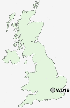
Postcode : WD19 6QH, South Oxhey, Hertfordshire
Watford, Hertfordshire.
Classification
WD19 6QH : Hard-pressed living / Migration and churn / Hard-pressed ethnic mix
Local Authority Three Rivers
Primary Care Trust Hertfordshire
Ward South Oxhey
Constituency South West Hertfordshire
Region Eastern
Country England
Postcode Area WD : Watford
WD19 Postcode Sectors
WD19 6QH Nearby Postcode Districts
E10 E15 E17 E2 E3 E4 E5 E8 E9 EC1 EC1A EC1M EC1N EC1R EC1V EC1Y EC2 EC2A EC2M EC2Y EC3P EN1 EN2 EN3 EN4 EN5 EN6 EN7 EN8 HA0 HA1 HA2 HA3 HA4 HA5 HA6 HA7 HA8 HA9 HP10 HP11 HP12 HP13 HP15 HP16 HP5 HP6 HP7 HP8 HP9 N1 N10 N11 N12 N13 N14 N15 N16 N17 N18 N19 N2 N20 N21 N22 N3 N4 N5 N6 N7 N8 N9 NW1 NW10 NW11 NW2 NW3 NW4 NW5 NW6 NW7 NW8 NW9 SL0 SL2 SL6 SL7 SL8 SL9 UB10 UB11 UB4 UB5 UB6 UB8 UB9 W10 W1G W1M W1T W1U W1W W9 WC1 WC1B WC1E WC1H WC1N WC1R WC1X WD1 WD17 WD18 WD19 WD2 WD23 WD24 WD25 WD3 WD4 WD5 WD6 WD7
Stations near to WD19 6QH
Carpenders Park Rail Station about 0.79 miles away.Hatch End Rail Station about 1.23 miles away.
Headstone Lane Rail Station about 1.89 miles away.
Bushey Rail Station about 1.95 miles away.
Bushey Rail Station about 1.95 miles away.
Watford High Street Rail Station about 2.4 miles away.
Watford Junction Rail Station about 3.15 miles away.
Watford Junction Rail Station about 3.17 miles away.
WD19 6QH Schools
Greenfields Primary SchoolOxhey Wood Primary School
Eastbury Farm Primary School
Bromet Primary School
UK Search
Antique Furniture
1000s of pieces of Antique Furniture for sale from British antique dealers.