Postcode : WD17 3PE, The Grove, Hertfordshire
Watford, Hertfordshire.
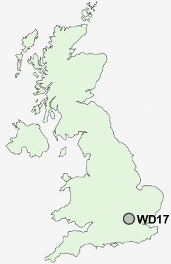
WD17 3PE close to The Grove and Watford.
Classification
WD17 3PE : Suburbanites / Suburban achievers / Indian tech achievers
Local Authority Watford
Primary Care Trust Hertfordshire
Ward Park
Constituency Watford
Region Eastern
Country England
Postcode Area WD : Watford
WD17 Postcode Sectors
WD17 3PE Nearby Postcode Districts
AL1 AL10 AL2 AL9 EN1 EN2 EN3 EN4 EN5 EN6 EN7 EN8 HA1 HA2 HA3 HA4 HA5 HA6 HA7 HA8 HP1 HP10 HP11 HP12 HP13 HP15 HP16 HP2 HP3 HP4 HP5 HP6 HP7 HP8 HP9 N10 N11 N12 N13 N14 N15 N17 N18 N2 N20 N21 N22 N3 N4 N6 N8 N9 NW11 NW4 NW7 NW9 SL7 SL8 SL9 UB9 WD1 WD17 WD18 WD19 WD2 WD23 WD24 WD25 WD3 WD4 WD5 WD6 WD7
Stations near to WD17 3PE
Watford Junction Rail Station about 1.18 miles away.Watford North Rail Station about 1.49 miles away.
Watford High Street Rail Station about 1.71 miles away.
Garston (Herts) Rail Station about 2.15 miles away.
Bushey Rail Station about 2.24 miles away.
Bushey Rail Station about 2.26 miles away.
Kings Langley Rail Station about 2.71 miles away.
Carpenders Park Rail Station about 3.18 miles away.
WD17 3PE Schools
Cassiobury Infant and Nursery SchoolNascot Wood Junior School
Nascot Wood Infant and Nursery School
Westfield Community Technology College
Kingsway Infants' School
Laurance Haines School
Holywell Primary School
Leavesden JMI School
Berrygrove Primary and Nursery School
UK Search
Antique Furniture
1000s of pieces of Antique Furniture for sale from British antique dealers.