Postcode : WA16 0QN, High Legh, Cheshire East, Cheshire
Ditchfield Lane, High Legh, Knutsford.
WA16 0QN close to High Legh and Hoo Green.
Classification
WA16 0QN : Suburbanites / Suburban achievers / Comfortable suburbia
Local Authority Cheshire East
Primary Care Trust Central and Eastern Cheshire
Ward High Legh
Constituency Tatton
Region North West
Country England
Postcode Area WA : Warrington
WA16 Postcode Sectors
WA16 9 Allostock, Boots Green, Lower Peover, Over Peover, Parkgate
WA16 6 Bucklow Hill, High Legh, Hulseheath, New Mills, Rostherne
WA16 8 Cross Town, Knutsford, Marthall, Ollerton, Over Knutsford
WA16 6 Bucklow Hill, High Legh, Hulseheath, New Mills, Rostherne
WA16 8 Cross Town, Knutsford, Marthall, Ollerton, Over Knutsford
WA16 0 Hoo Green, Mere, Over Tabley, Pickmere, Plumley
WA16 7 Knolls Green, Lindow End, Mobberley, Noonsun, Paddockhill
WA16 7 Knolls Green, Lindow End, Mobberley, Noonsun, Paddockhill
WA16 0QN Nearby Postcode Districts
CW8 CW9 L24 L26 L27 L34 L35 L36 M19 M20 M21 M22 M23 M31 M33 M44 M90 SK1 SK10 SK11 SK12 SK2 SK3 SK4 SK5 SK6 SK7 SK8 SK9 WA1 WA13 WA14 WA15 WA16 WA2 WA4 WA5 WA6 WA7 WA8 WA9
WA16 0QN Schools
High Legh Primary School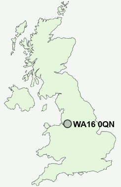
UK Search
Antique Furniture
1000s of pieces of Antique Furniture for sale from British antique dealers.