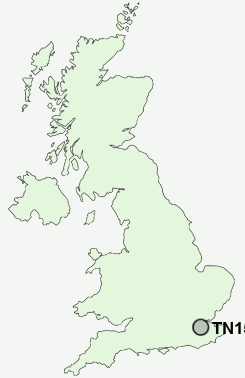
Postcode : TN15 0AL, Seal, Kent
High Street, Seal, Sevenoaks.
TN15 0AL close to Seal, Childsbridge, Noah's Ark, Wildernesse and Godden Green.
Classification
TN15 0AL : Urbanites / Ageing urban living / Communal retirement
Local Authority Sevenoaks
Primary Care Trust West Kent
Ward Seal and Weald
Constituency Sevenoaks
Region South East
Country England
Postcode Area TN : Tonbridge
TN15 Postcode Sectors
TN15 7 Ash, Fairseat, Hodsoll Street, New Street, Pettings
TN15 8 Basted, Borough Green, Claygate Cross, Comp, Crouch
TN15 0 Bitchet Green, Godden Green, Ivy Hatch, Lower Bitchet, Plaxtol
TN15 8 Basted, Borough Green, Claygate Cross, Comp, Crouch
TN15 0 Bitchet Green, Godden Green, Ivy Hatch, Lower Bitchet, Plaxtol
TN15 6 Childsbridge, Crowdleham, East Hill, Heaverham, Kemsing
TN15 9 Ightham, Ightham Common, Oldbury
TN15 9 Ightham, Ightham Common, Oldbury
TN15 0AL Nearby Postcode Districts
BR4 BR6 CR0 CR2 CR3 CR5 CR6 CR8 DA13 DA3 ME1 ME14 ME15 ME16 ME17 ME18 ME19 ME20 ME4 ME5 ME6 ME7 ME8 RH1 RH8 RH9 SM5 SM6 TN10 TN11 TN13 TN14 TN15 TN16 TN8 TN9
Stations near to TN15 0AL
Bat & Ball Rail Station about 1.12 miles away.Kemsing Rail Station about 1.31 miles away.
Sevenoaks Rail Station about 1.86 miles away.
Otford Rail Station about 1.96 miles away.
Dunton Green Rail Station about 2.19 miles away.
Shoreham (Kent) Rail Station about 3.29 miles away.
TN15 0AL Schools
The Wildernesse SchoolWalthamstow Hall
Kemsing Primary School
Sevenoaks Preparatory School
Sevenoaks Primary School
The Bradbourne School
The Granville School
St Michael's Prep School
UK Search
Antique Furniture
1000s of pieces of Antique Furniture for sale from British antique dealers.