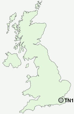
Postcode : TN1, Kent
Postcodes in the TN1 sector. Covering areas such as Poundsbridge, Burwash, Fairseat, East Peckham, Beltring, Cranbrooke Common, Stone Street, Four Throws, Crowdleham, Timberden Bottom, Petteridge, Otford, Woodsden, Winkhurst Green, Underling Green, Greater London, Kent and East Sussex in Bromley, Greater London, Surrey.
Postcode Area TN : Tonbridge
TN1 Postcode Sectors
TN1 Nearby Postcode Districts
ME17 RH18 RH19 RH7 TN1 TN10 TN11 TN12 TN17 TN18 TN2 TN3 TN4 TN5 TN6 TN7 TN8 TN9
Stations near to TN1
Tunbridge Wells Rail Station about 0.42 miles away.High Brooms Rail Station about 1.06 miles away.
Frant Rail Station about 2.41 miles away.
TN1 Schools
Claremont Primary SchoolThe Skinners' School
Beechwood Sacred Heart School
Tunbridge Wells Girls' Grammar School
The Mead School
Sherwood Park Community Primary School
Rose Hill School
Tunbridge Wells High School
St Gregory's Catholic Comprehensive School
Tunbridge Wells Grammar School for Boys
Bishops Down Primary School
Broadwater Down Primary School
UK Search
Antique Furniture
1000s of pieces of Antique Furniture for sale from British antique dealers.
