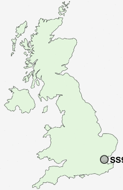
Postcode : SS9 3NL, Leigh-on-Sea, Southend-on-Sea, Essex
London Road, Southend-on-Sea, Leigh-on-Sea.
Classification
SS9 3NL : Urbanites / Urban professionals and families / Families in terraces and flats
Local Authority Southend-on-Sea
Primary Care Trust South East Essex
Ward Chalkwell
Constituency Southend West
Region Eastern
Country England
Postcode Area SS : Southend on Sea
SS9 Postcode Sectors
SS9 3NL Nearby Postcode Districts
CM11 CM12 CM13 CM14 CM15 DA9 RM15 RM16 RM17 RM18 RM20 SS0 SS1 SS11 SS12 SS13 SS14 SS15 SS16 SS17 SS2 SS3 SS4 SS5 SS6 SS7 SS8 SS9
Stations near to SS9 3NL
Chalkwell Rail Station about 0.53 miles away.Westcliff-on-Sea Rail Station about 1.08 miles away.
Leigh-on-Sea Rail Station about 1.36 miles away.
Prittlewell Rail Station about 1.73 miles away.
Southend Victoria Rail Station about 1.77 miles away.
Southend Central Rail Station about 1.86 miles away.
Southend Airport Rail Station about 2.12 miles away.
Rochford Rail Station about 2.79 miles away.
SS9 3NL Schools
Darlinghurst Primary and Nursery SchoolLeigh North Street Junior School
Blenheim Primary School
Chase High School
West Leigh Junior School
West Leigh Infant School
Earls Hall Primary School
Earls Hall Infant School
Barons Court Primary School and Nursery
Fairways Primary School
Heycroft Primary School
UK Search
Antique Furniture
1000s of pieces of Antique Furniture for sale from British antique dealers.