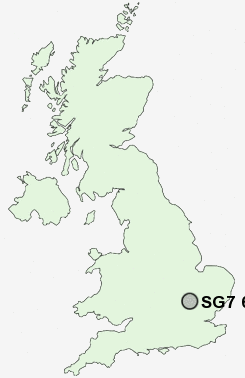
Postcode : SG7 6HY, Baldock, Hertfordshire
Saint Mary's Way, Baldock.
Classification
SG7 6HY : Hard-pressed living / Migration and churn / Hard-pressed ethnic mix
Local Authority North Hertfordshire
Primary Care Trust Hertfordshire
Ward Baldock Town
Constituency North East Hertfordshire
Region Eastern
Country England
Postcode Area SG : Stevenage
SG7 Postcode Sectors
SG7 6HY Nearby Postcode Districts
LU2 LU3 LU4 LU5 MK45 SG1 SG15 SG16 SG17 SG2 SG4 SG5 SG6 SG7 SG8 SG9
Stations near to SG7 6HY
Baldock Rail Station about 0.84 miles away.Letchworth Rail Station about 1.53 miles away.
SG7 6HY Schools
The Knights Templar SchoolHartsfield Junior Mixed and Infant School
Radburn Primary School
Lannock Primary School
Hillshott Infant School and Nursery
Pixmore Junior School
Grange Junior School
Northfields Infants and Nursery School
St Francis College
Lordship Farm Primary School
Stonehill School
UK Search
Antique Furniture
1000s of pieces of Antique Furniture for sale from British antique dealers.