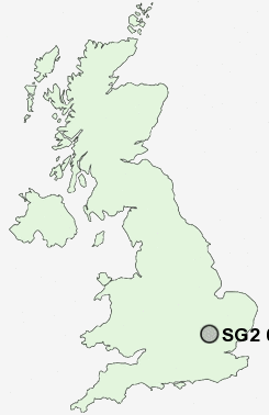
Postcode : SG2 0HS, Chells, Hertfordshire
Stevenage, Hertfordshire.
SG2 0HS close to Chells and Aston End.
Classification
SG2 0HS : Hard-pressed living / Industrious communities / Industrious transitions
Local Authority Stevenage
Primary Care Trust Hertfordshire
Ward Manor
Constituency Stevenage
Region Eastern
Country England
Postcode Area SG : Stevenage
SG2 Postcode Sectors
SG2 0HS Nearby Postcode Districts
AL5 AL6 CB11 CM21 CM22 CM23 CM24 LU1 LU2 LU3 LU4 LU5 LU6 SG1 SG10 SG11 SG12 SG2 SG3 SG4 SG5 SG6 SG7 SG9
Stations near to SG2 0HS
Stevenage Rail Station about 1.8 miles away.Knebworth Rail Station about 3.18 miles away.
SG2 0HS Schools
The Nobel SchoolMoss Bury Primary School and Nursery
Marriotts School
Trotts Hill Primary and Nursery School
Giles Junior School
The Giles Infant and Nursery School
Ashtree Primary School and Nursery
The Leys Primary and Nursery School
Round Diamond Primary School
Barnwell School
Barclay School
UK Search
Antique Furniture
1000s of pieces of Antique Furniture for sale from British antique dealers.