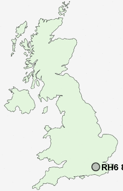
Postcode : RH6 8JG, Horley, Surrey
Kiln Lane, Horley.
Classification
RH6 8JG : Suburbanites / Suburban achievers / Ageing in suburbia
Local Authority Reigate and Banstead
Primary Care Trust Surrey
Ward Horley West
Constituency East Surrey
Region South East
Country England
Postcode Area RH : Redhill
RH6 Postcode Sectors
RH6 9 Burstow, Fernhill, Horne, Shipley Bridge, Smallfield
RH6 0 Charlwood, Hookwood, Norwood Hill, Povey Cross, Russ Hill
RH6 0 Charlwood, Hookwood, Norwood Hill, Povey Cross, Russ Hill
RH6 8JG Nearby Postcode Districts
GU1 GU4 GU5 GU6 KT23 KT24 RH1 RH10 RH11 RH18 RH19 RH2 RH3 RH4 RH5 RH6 RH7 RH8 RH9 TN13 TN7 TN8
Stations near to RH6 8JG
Horley Rail Station about 1.04 miles away.Salfords (Surrey) Rail Station about 1.35 miles away.
Gatwick Airport Rail Station about 1.86 miles away.
Earlswood (Surrey) Rail Station about 3.08 miles away.
Nutfield Rail Station about 3.45 miles away.
RH6 8JG Schools
Meath Green Infant SchoolMeath Green Junior School
Yattendon School
Horley Infant School
Manorfield Primary and Nursery School
Langshott Primary School
Oakwood School
Salfords Primary School
UK Search
Antique Furniture
1000s of pieces of Antique Furniture for sale from British antique dealers.