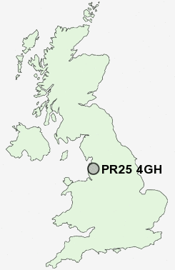
Postcode : PR25 4GH, Farington, Lancashire
Rose Street, Farington, Leyland.
PR25 4GH close to Farington, Leyland, Broadfield and Earnshaw Bridge.
Classification
PR25 4GH : Hard-pressed living / Challenged terraced workers / Deprived blue-collar terraces
Local Authority South Ribble
Primary Care Trust Central Lancashire
Ward Farington East
Constituency Ribble Valley
Region North West
Country England
Postcode Area PR : Preston
PR25 Postcode Sectors
PR25 4GH Nearby Postcode Districts
BB1 BB2 BB3 BB4 BB5 BB6 BL0 BL7 BL8 FY4 FY8 L40 PR1 PR2 PR25 PR26 PR4 PR5 PR6 PR7 PR8 PR9
Stations near to PR25 4GH
Leyland Rail StationLostock Hall Rail Station about 1.55 miles away.
Bamber Bridge Rail Station about 1.99 miles away.
Buckshaw Parkway Rail Station about 2.2 miles away.
Euxton Balshaw Lane Rail Station about 2.91 miles away.
PR25 4GH Schools
Lever House Primary SchoolWellfield High School
Lancaster Lane Community Primary School
Woodlea Junior School
Worden Sports College
UK Search
Antique Furniture
1000s of pieces of Antique Furniture for sale from British antique dealers.