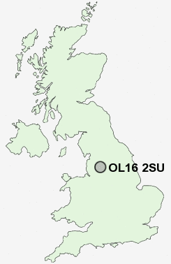
Postcode : OL16 2SU, Milnrow, Rochdale, Greater Manchester
Rochdale, Greater Manchester.
OL16 2SU close to Rochdale, Belfield and Newbold.
Classification
OL16 2SU : Multicultural metropolitans / Challenged Asian terraces / Pakistani communities
Local Authority Rochdale
Primary Care Trust Heywood, Middleton and Rochdale
Ward Smallbridge and Firgrove
Constituency Rochdale
Region North West
Country England
Postcode Area OL : Oldham
OL16 Postcode Sectors
OL16 2SU Nearby Postcode Districts
BB3 BB4 BL0 BL1 BL2 BL3 BL4 BL5 BL6 BL7 BL8 BL9 HD1 HD2 HD3 HD4 HD5 HD6 HD7 HD9 HX1 HX3 HX4 HX5 HX6 M24 M26 M38 M45 OL1 OL10 OL11 OL12 OL13 OL14 OL15 OL16 OL2 OL3 OL4 OL9
Stations near to OL16 2SU
Smithy Bridge Rail Station about 1.09 miles away.Rochdale Rail Station about 1.45 miles away.
Littleborough Rail Station about 2.05 miles away.
Castleton (Manchester) Rail Station about 3.05 miles away.
OL16 2SU Schools
Hamer Community Primary SchoolGreenbank Primary School
Shawclough Community Primary School
Falinge Park High School
Broadfield Community Primary School
Deeplish Community Primary School
Springhill High School
UK Search
Antique Furniture
1000s of pieces of Antique Furniture for sale from British antique dealers.