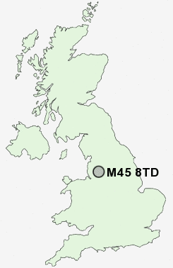
Postcode : M45 8TD, Bury, Greater Manchester
Whitefield, Manchester, Greater Manchester.
M45 8TD close to Besses o' th' Barn and Oak Bank.
Classification
M45 8TD : Constrained city dwellers / Challenged diversity / Multi-ethnic hardship
Local Authority Bury
Primary Care Trust Bury
Ward Besses
Constituency Bury South
Region North West
Country England
Postcode Area M : Manchester
M45 Postcode Sectors
M45 8TD Nearby Postcode Districts
BL0 BL1 BL2 BL3 BL4 BL5 BL6 BL7 BL8 BL9 M1 M11 M12 M13 M15 M16 M17 M18 M2 M24 M25 M26 M27 M28 M29 M3 M30 M34 M35 M38 M4 M40 M43 M45 M46 M5 M6 M60 M7 M8 M9 OL1 OL10 OL11 OL12 OL15 OL16 OL2 OL3 OL4 OL5 OL6 OL7 OL8 OL9 PR7 SK15 SK16 WA12 WA3 WN1 WN2 WN3 WN4 WN6 WN7
Stations near to M45 8TD
Clifton (Manchester) Rail Station about 2.37 miles away.M45 8TD Schools
Ribble Drive Community Primary SchoolMersey Drive Community Primary School
Philips High School
Sunny Bank Primary School
Castlebrook High School
Parrenthorn High School
Prestwich Arts College
UK Search
Antique Furniture
1000s of pieces of Antique Furniture for sale from British antique dealers.