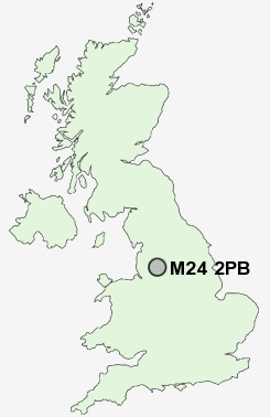
Postcode : M24 2PB, Middleton, Rochdale, Greater Manchester
Stanycliffe Lane, Middleton, Manchester.
M24 2PB close to Hollins, Higher Boarshaw, Stanycliffe, Top of Hebers, Langley and Slattocks.
Classification
M24 2PB : Hard-pressed living / Migration and churn / Young hard-pressed families
Local Authority Rochdale
Primary Care Trust Heywood, Middleton and Rochdale
Ward North Middleton
Constituency Heywood and Middleton
Region North West
Country England
Postcode Area M : Manchester
M24 Postcode Sectors
M24 5 Birch, Langley, Top of Hebers
M24 4 Bowlee, Rhodes
M24 6 Higher Boarshaw, Hollins, Middleton
M24 2PB Nearby Postcode Districts
BL0 BL1 BL2 BL3 BL4 BL5 BL6 BL7 BL8 BL9 HD1 HD3 HD4 HD7 HD9 M1 M11 M12 M13 M15 M17 M18 M2 M24 M25 M26 M27 M28 M29 M3 M30 M35 M38 M4 M40 M43 M45 M46 M5 M6 M60 M7 M8 M9 OL1 OL10 OL11 OL12 OL15 OL16 OL2 OL3 OL4 OL5 OL6 OL7 OL8 OL9 SK15 SK16 WN2 WN7
Stations near to M24 2PB
Mills Hill (Manchester) Rail Station about 0.73 miles away.Castleton (Manchester) Rail Station about 2.24 miles away.
Moston Rail Station about 2.54 miles away.
M24 2PB Schools
Middleton Technology SchoolSt Anne's Church of England Academy
St Anne's Church of England Academy
Parkfield Primary School
Alkrington Primary School
The Radclyffe School
UK Search
Antique Furniture
1000s of pieces of Antique Furniture for sale from British antique dealers.