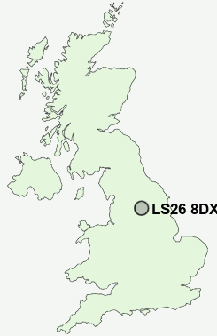
Postcode : LS26 8DX, Rothwell, Leeds, West Yorkshire
Church Lane, Swillington, Leeds.
LS26 8DX close to Little Preston, Swillington and Hollinthorpe.
Classification
LS26 8DX : Hard-pressed living / Industrious communities / Industrious hardship
Local Authority Leeds
Primary Care Trust Leeds
Ward Garforth and Swillington
Constituency Elmet and Rothwell
Region Yorkshire and The Humber
Country England
Postcode Area LS : Leeds
LS26 Postcode Sectors
LS26 0 Carlton, Rothwell, Rothwell Haigh
LS26 8 Great Preston, Hollinthorpe, John O'Gaunts, Little Preston, Oulton
LS26 8 Great Preston, Hollinthorpe, John O'Gaunts, Little Preston, Oulton
LS26 8DX Nearby Postcode Districts
BD1 BD10 BD11 BD12 BD14 BD17 BD18 BD19 BD2 BD3 BD4 BD5 BD6 BD7 BD8 BD9 HD6 LS1 LS10 LS11 LS12 LS13 LS14 LS15 LS16 LS17 LS18 LS19 LS2 LS25 LS26 LS27 LS28 LS3 LS4 LS5 LS6 LS7 LS8 LS9 WF1 WF10 WF11 WF12 WF13 WF14 WF15 WF16 WF17 WF2 WF3 WF5 WF6 WF8 YO8
Stations near to LS26 8DX
Woodlesford Rail Station about 1.23 miles away.Garforth Rail Station about 2.47 miles away.
Cross Gates Rail Station about 2.73 miles away.
LS26 8DX Schools
Swillington Primary SchoolWoodlesford Primary School
Brigshaw High School and Language College
Oulton Primary School
Garforth Community College
Colton Primary School
UK Search
Antique Jewellery
including Antique Engagement Rings for sale from UK Antique specialists.