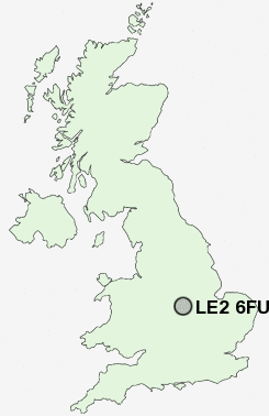
Postcode : LE2 6FU, Knighton, Leicester, Leicestershire
Knighton Lane East, Leicester.
LE2 6FU close to Knighton, Knighton Fields, Aylestone Park, South Knighton, Clarendon Park and Stoneygate.
Classification
LE2 6FU : Ethnicity central / Ethnic dynamics / Constrained neighbourhoods
Local Authority Leicester
Primary Care Trust Leicester City
Ward Knighton
Constituency Leicester South
Region East Midlands
Country England
Postcode Area LE : Leicester
LE2 Postcode Sectors
LE2 8 Aylestone, Aylestone Park
LE2 1 Clarendon Park
LE2 9 Eyres Monsell, Glen Parva
LE2 2 Great Stretton, Little Stretton, Stoneygate, Stoughton
LE2 1 Clarendon Park
LE2 9 Eyres Monsell, Glen Parva
LE2 2 Great Stretton, Little Stretton, Stoneygate, Stoughton
LE2 6FU Nearby Postcode Districts
CV10 CV11 CV13 LE1 LE10 LE18 LE2 LE3 LE4 LE5 LE6 LE7 LE8 LE9
Stations near to LE2 6FU
Leicester Rail Station about 1.7 miles away.South Wigston Rail Station about 1.75 miles away.
LE2 6FU Schools
Sir Jonathan North Community CollegeThe Lancaster School
Avenue Primary School
The Samworth Enterprise Academy
The Samworth Enterprise Academy
Riverside Community College
Rolleston Primary School
Guthlaxton College
Moat Community College
Fullhurst Community College
UK Search
Antique Jewellery
including Antique Engagement Rings for sale from UK Antique specialists.