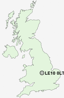
Postcode : LE10 0LT, Sketchley, Leicestershire
Westfield Road, Hinckley.
LE10 0LT close to Sketchley, Hollycroft and Hinckley.
Classification
LE10 0LT : Hard-pressed living / Hard pressed ageing workers / Ageing industrious workers
Local Authority Hinckley and Bosworth
Primary Care Trust Leicestershire County and Rutland
Ward Hinckley Clarendon
Constituency Bosworth
Region East Midlands
Country England
Postcode Area LE : Leicester
LE10 Postcode Sectors
LE10 3 Aston Flamville, Copston Magna, Leicester Grange, Sharnford, Shelford
LE10 2 Burbage, Sketchley
LE10 2 Burbage, Sketchley
LE10 0LT Nearby Postcode Districts
B34 B36 B37 B40 B46 B77 B78 B92 CV10 CV11 CV12 CV13 CV7 CV9 LE1 LE10 LE17 LE18 LE2 LE3 LE8 LE9
Stations near to LE10 0LT
Hinckley Rail Station about 0.52 miles away.LE10 0LT Schools
Westfield Junior SchoolWestfield Infant School
Sketchley Hill Primary School Burbage
Battling Brook Community Primary School
Hastings High School
Redmoor High School
Mount Grace High School
Hinckley Parks Primary School
Burbage Junior School
Richmond Primary School
Jamia Islamia (Islamic Studies Centre)
UK Search
Antique Jewellery
including Antique Engagement Rings for sale from UK Antique specialists.