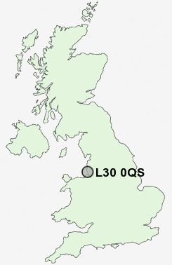
Postcode : L30 0QS, Netherton, Sefton, Merseyside
Stonyfield, Bootle.
L30 0QS close to Netherton and Buckley Hill.
Classification
L30 0QS : Hard-pressed living / Challenged terraced workers / Hard pressed rented terraces
Local Authority Sefton
Primary Care Trust Sefton
Ward St Oswald
Constituency Bootle
Region North West
Country England
Postcode Area L : Liverpool
L30 Postcode Sectors
L30 0QS Nearby Postcode Districts
CH41 CH44 CH45 CH46 CH47 L1 L10 L11 L12 L13 L14 L15 L16 L2 L20 L21 L22 L23 L28 L29 L3 L30 L31 L32 L33 L34 L35 L36 L37 L38 L39 L4 L5 L6 L69 L7 L70 L9 WA10 WA11 WA12 WA2 WA5 WA9 WN1 WN2 WN3 WN4 WN5 WN6 WN8
Stations near to L30 0QS
Old Roan Rail Station about 1.25 miles away.Aintree Rail Station about 1.66 miles away.
Maghull Rail Station about 2.18 miles away.
Orrell Park Rail Station about 2.29 miles away.
Fazakerley Rail Station about 2.44 miles away.
Rice Lane Rail Station about 2.58 miles away.
Bootle New Strand Rail Station about 2.86 miles away.
Bootle Oriel Road Rail Station about 3.32 miles away.
L30 0QS Schools
Litherland High SchoolChesterfield High School
Litherland Moss Primary School
Forefield Community Infant and Nursery School
Forefield Junior School
Maghull High School
Hudson Primary School
Aintree Davenhill Primary School
UK Search
Antique Jewellery
including Antique Engagement Rings for sale from UK Antique specialists.