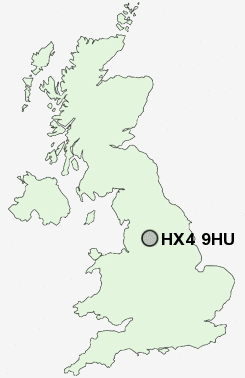
Postcode : HX4 9HU, Stainland, Calderdale, West Yorkshire
Stainland, Halifax, West Yorkshire.
HX4 9HU close to Stainland, Holywell Green, Sowood, Sowood Green, Outlane and Bottomley.
Classification
HX4 9HU : Urbanites / Urban professionals and families / White professionals
Local Authority Calderdale
Primary Care Trust Calderdale
Ward Greetland and Stainland
Constituency Calder Valley
Region Yorkshire and The Humber
Country England
Postcode Area HX : Halifax
HX4 Postcode Sectors
HX4 0 Barkisland, Bottomley, Krumlin
HX4 9 Broad Carr, Holywell Green, Jagger Green, Old Lindley, Outlane
HX4 9 Broad Carr, Holywell Green, Jagger Green, Old Lindley, Outlane
HX4 9HU Nearby Postcode Districts
BD11 BD12 BD19 BD6 HD1 HD2 HD3 HD4 HD5 HD6 HD7 HD8 HD9 HX1 HX2 HX3 HX4 HX5 HX6 HX7 LS10 LS27 OL10 OL11 OL12 OL13 OL14 OL15 OL16 OL2 WF1 WF12 WF13 WF14 WF15 WF16 WF17 WF2 WF3 WF4 WF5
Stations near to HX4 9HU
Sowerby Bridge Rail Station about 2.69 miles away.Slaithwaite Rail Station about 3.32 miles away.
Halifax Rail Station about 3.58 miles away.
HX4 9HU Schools
Bowling Green Primary SchoolHolywell Green Primary School
Greetland Primary School
Moorlands Primary School
Cross Lane Primary and Nursery School
UK Search
Antique Jewellery
including Antique Engagement Rings for sale from UK Antique specialists.