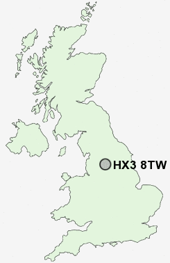
Postcode : HX3 8TW, Norwood Green, Calderdale, West Yorkshire
Stoney Lane, Lightcliffe, Halifax.
HX3 8TW close to Norwood Green, Priestley Green and Hipperholme.
Classification
HX3 8TW : Suburbanites / Semi-detached suburbia / White suburban communities
Local Authority Calderdale
Primary Care Trust Calderdale
Ward Hipperholme and Lightcliffe
Constituency Calder Valley
Region Yorkshire and The Humber
Country England
Postcode Area HX : Halifax
HX3 Postcode Sectors
HX3 9 Bank Top, Siddal, Southowram
HX3 5 Boothtown, Wheatley
HX3 7 Coley, Dam Head, Northowram, Pepper Hill, Shelf
HX3 5 Boothtown, Wheatley
HX3 7 Coley, Dam Head, Northowram, Pepper Hill, Shelf
HX3 0 Copley, Exley, Savile Park
HX3 8 Hipperholme, Norwood Green, Priestley Green
HX3 6 Holmfield, Pule Hill, Woodlands
HX3 8 Hipperholme, Norwood Green, Priestley Green
HX3 6 Holmfield, Pule Hill, Woodlands
HX3 8TW Nearby Postcode Districts
BD1 BD11 BD12 BD13 BD14 BD15 BD19 BD2 BD3 BD4 BD5 BD6 BD7 BD8 BD9 HD1 HD2 HD3 HD4 HD5 HD6 HD7 HX1 HX2 HX3 HX4 HX5 HX6 HX7 LS1 LS10 LS11 LS12 LS13 LS15 LS2 LS26 LS27 LS28 LS3 LS4 LS5 LS6 LS7 LS9 OL12 OL14 OL15 WF1 WF12 WF13 WF14 WF15 WF16 WF17 WF2 WF3 WF4 WF5 WF6
Stations near to HX3 8TW
Brighouse Rail Station about 1.63 miles away.HX3 8TW Schools
Cliffe Hill Community Primary SchoolBailiffe Bridge Junior and Infant School
Shirley Manor Primary School
Scholes Village Primary School
Wyke Manor School
Castlefields Infant School
UK Search
Antique Jewellery
including Antique Engagement Rings for sale from UK Antique specialists.