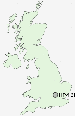
Postcode : HP4 3LF, Berkhamsted, Hertfordshire
Greenway, Berkhamsted.
HP4 3LF close to Shootersway and Northchurch.
Classification
HP4 3LF : Suburbanites / Semi-detached suburbia / Older workers and retirement
Local Authority Dacorum
Primary Care Trust Hertfordshire
Ward Berkhamsted West
Constituency South West Hertfordshire
Region Eastern
Country England
Postcode Area HP : Hemel Hempstead
HP4 Postcode Sectors
HP4 1 Berkhamsted, Dagnall, Hudnall, Little Gaddesden, Ringshall
HP4 3 Dudswell, Heath End, Northchurch, Shootersway
HP4 3 Dudswell, Heath End, Northchurch, Shootersway
HP4 3LF Nearby Postcode Districts
AL1 AL10 AL2 AL3 AL4 AL5 AL6 AL7 AL8 AL9 HP1 HP16 HP17 HP19 HP2 HP20 HP21 HP22 HP23 HP27 HP3 HP4 HP5 HP6 HP7 OX39 WD17 WD2 WD24 WD25 WD4 WD5 WD7
Stations near to HP4 3LF
Berkhamsted Rail Station about 0.83 miles away.Tring Rail Station about 3.34 miles away.
HP4 3LF Schools
St Thomas More Roman Catholic Voluntary Aided Primary SchoolGreenway Primary and Nursery School
Egerton-Rothesay School
Westfield Primary School and Nursery
Victoria Church of England Infant and Nursery School
Bridgewater Primary School
Berkhamsted Senior School
Ashlyns School
Berkhamsted Prep and Pre-Prep School
Swing Gate Infant School and Nursery
UK Search
Antique Jewellery
including Antique Engagement Rings for sale from UK Antique specialists.