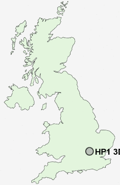
Postcode : HP1 3DW, Counters End, Hertfordshire
Hemel Hempstead, Hertfordshire.
HP1 3DW close to Counters End, Hammerfield, Gadebridge, Boxmoor, Green End and Warners End.
Classification
HP1 3DW : Hard-pressed living / Migration and churn / Hard-pressed ethnic mix
Local Authority Dacorum
Primary Care Trust Hertfordshire
Ward Gadebridge
Constituency Hemel Hempstead
Region Eastern
Country England
Postcode Area HP : Hemel Hempstead
HP1 Postcode Sectors
HP1 3DW Nearby Postcode Districts
AL1 AL10 AL2 AL3 AL4 AL5 AL6 AL7 AL8 AL9 EN2 EN6 HP1 HP16 HP17 HP19 HP2 HP20 HP21 HP22 HP23 HP27 HP3 HP4 HP5 HP6 HP7 SG14 WD17 WD2 WD24 WD25 WD4 WD5 WD7
Stations near to HP1 3DW
Hemel Hempstead Rail Station about 1.1 miles away.Apsley Rail Station about 1.93 miles away.
HP1 3DW Schools
The Cavendish SchoolGade Valley Primary School
Micklem Primary School
The Hemel Hempstead School
The Hammond Primary School
Aycliffe Drive Primary School
Lime Walk Primary School
Adeyfield School
The Reddings Primary School
Belswains Primary School
Hobbs Hill Wood Primary School
UK Search
Antique Jewellery
including Antique Engagement Rings for sale from UK Antique specialists.